Datasets with differents trayectories in an outdoor scenario


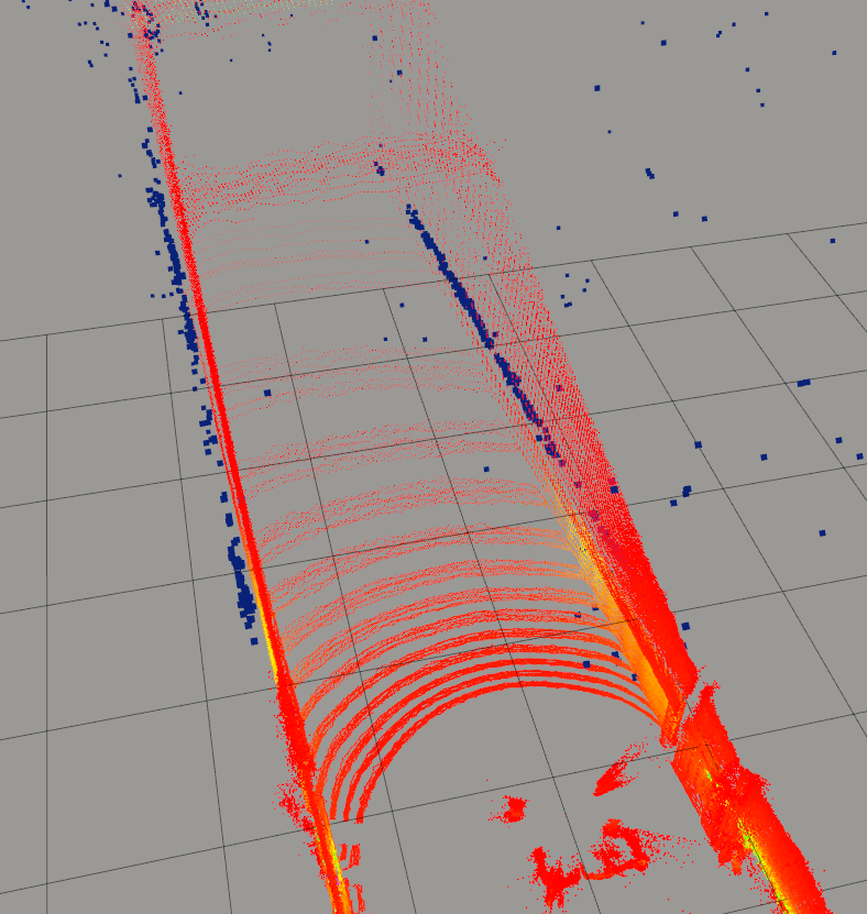
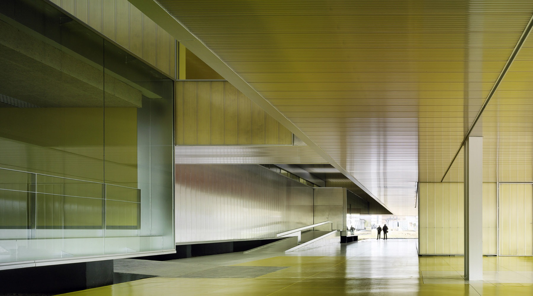
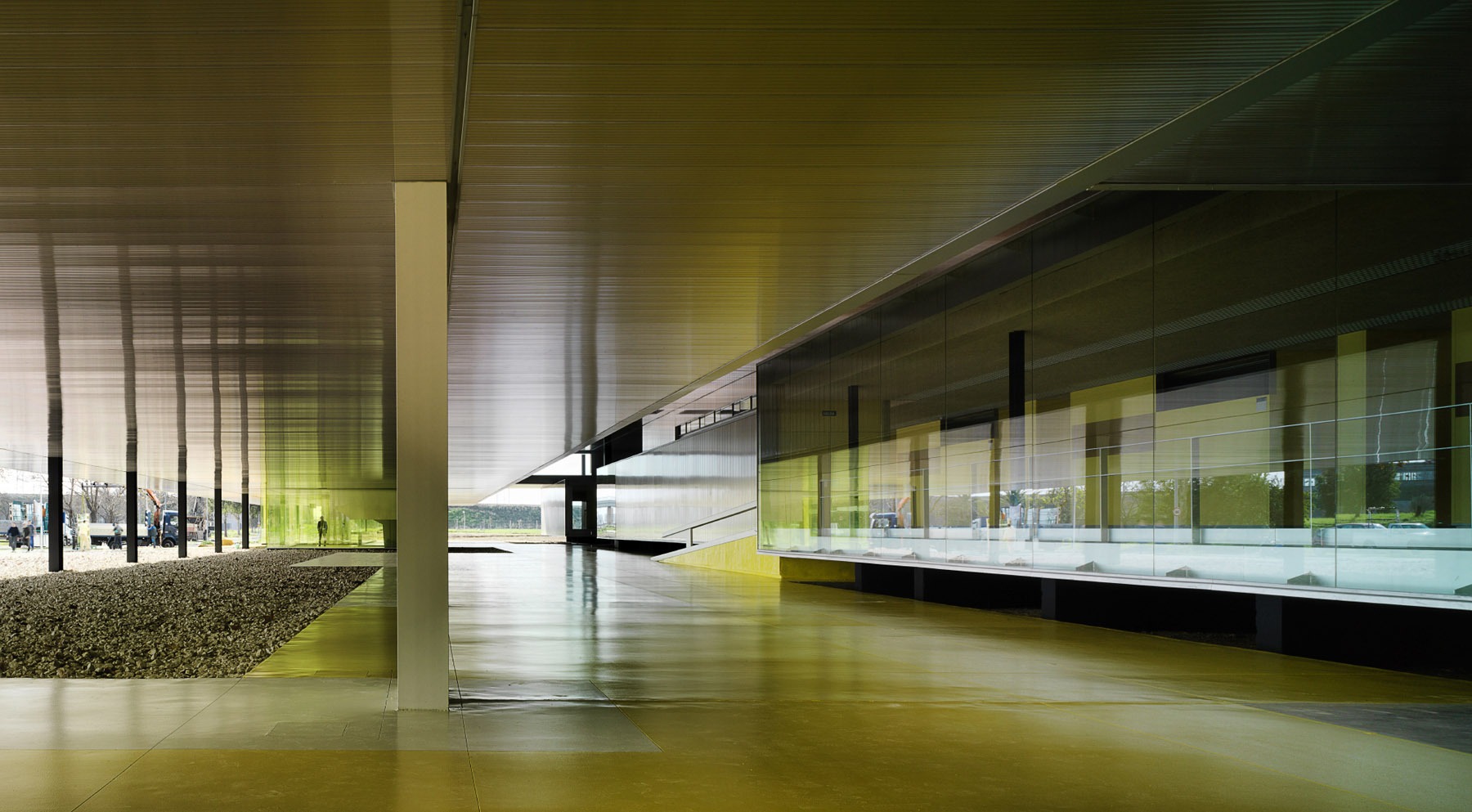
We present a dataset obtained using our robotic platform ARCO. This project was conducted by the "Service Robotics Lab" at Pablo de Olavide University. The dataset captures various trajectories within a structured environment characterized by an open building with partial overhead coverage.

This datasets includes measurements from LiDAR, radar, and IMU sensors, proving invaluable for designing and testing localization and mapping algorithms reliant on radar sensors, particularly in challenging scenarios such as adverse weather conditions.

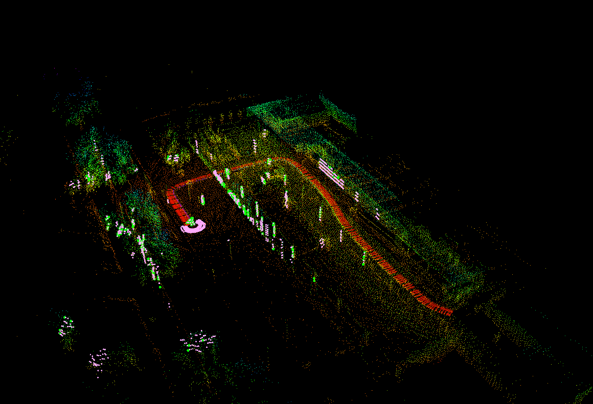
The radar data was obtained using a driver developed by our group. For more information about this driver, please refer to the repository "ARS_548_RDI Driver", where you can also access custom messages included in the bags related to object detection. Additionally, an approximate baseline was generated using the "LeGO LOAM-SR" library, providing a precise trajectory based on LiDAR data, serving as a reliable benchmark for evaluating different algorithms.

The data is carefully timestamped and stored using the ROS2 (Robot Operating System 2) package, guaranteeing compatibility and user-friendly access. Detailed descriptions of each file's contents are available in the provided section, facilitating efficient navigation and utilization of the dataset.

Copyright


All datasets and benchmarks on this page are copyright by us and published under the Creative Commons Attribution-NonCommercial-ShareAlike 3.0 License. This means that you must attribute the work in the manner specified by the authors, you may not use this work for commercial purposes and if you alter, transform, or build upon this work, you may distribute the resulting work only under the same license.


Citation


Please cite our paper ARS 548 RDI radar driver if you use the dataset for your research. It would be more than welcome!!

Acknowledgements


This work is partially supported by the grants INSERTION PID2021-127648OB-C31 and NORDIC TED2021-132476B-100, funded by Spanish’s MCIN/AEI/10.13039/501100011033 and the “European Union NextGenerationEU”/”PRTR”.



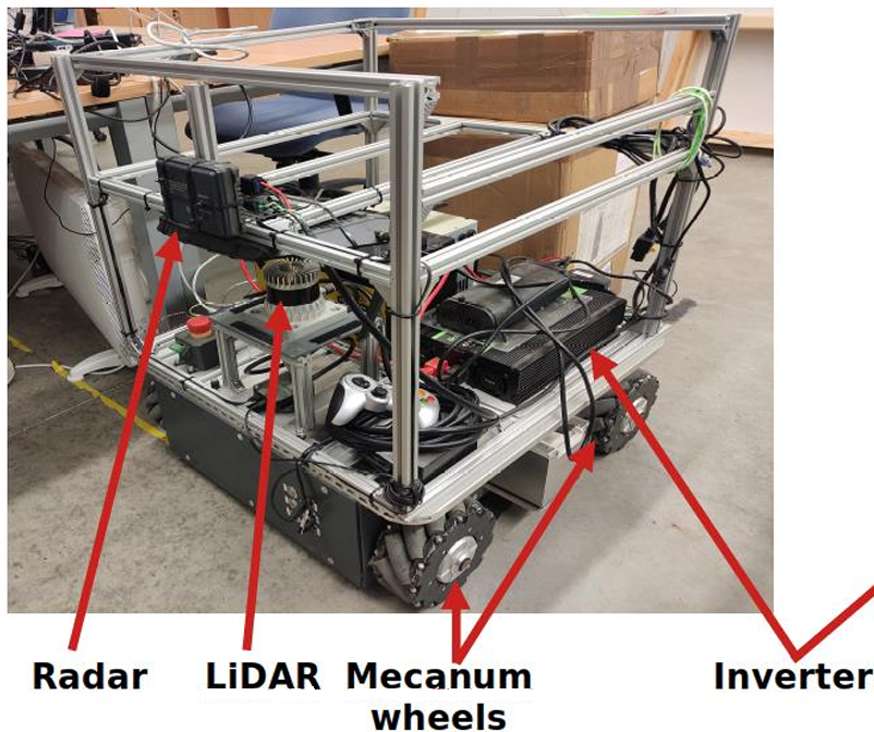
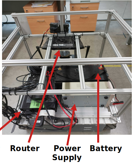
Arco System Overview

We have employed the ARCO ground platform, developed by the company ID-Mind, for acquiring datasets within specific environments. This 4-wheeled holonomic robot features an independent traction system, offering versatility in both holonomic and differential configurations, with a maximum navigation speed of 0.8 m/s.

Equipped with essential components, ARCO is tailored for efficient data collection tasks. These include:

  • • Onboard Computer: MSI CubiN 8GL-001BEU housing an Intel i5 processor, integral for computation tasks..

  • • Inertial Measurement Unit (IMU): Sparkfun Razor 9 DoF IMU, facilitating precise orientation data acquisition.

  • • LiDAR Sensor: A 3D OS-1-16 LiDAR Ouster positioned atop the robot, enabling high-resolution 3D mapping and obstacle detection.

  • • Radar Sensors: Four IWR6843 intelligent mmWave sensor antenna-on-package units from Texas Instruments, enhancing environmental awareness.

  • • Battery: A LiFePO4 battery powers the radar and LiDAR system and two internal batteries powers the motors and onboard electronics.

  • • Inverter: Essential for converting DC energy from the battery into AC energy for the power supply.

  • • Router: Incorporates a NIGHTHAWK NetGear AX5400 Router, configured to establish local network connectivity, with the UGV connected via Ethernet and the UAS via 5G WiFi.

Scenario

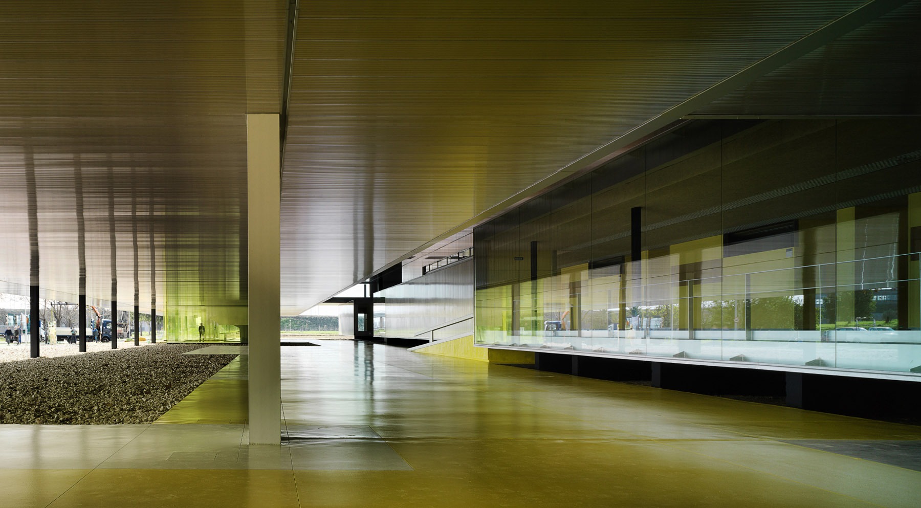
The experiments presented in this paper were conducted in Building 45 of Pablo de Olavide University. This recorded datasets have been utilized for different experiments outlined in the "ars548_ros. An ARS 548 RDI radar driver for ROS2" paper to test the proper functionality of the proposed radar driver. These datasets serve as crucial resources for assessing and validating the performance of the radar driver under various conditions and scenarios, contributing to the advancement and refinement of radar-based sensing technologies.

Dynamic dataset

Two trajectories have been conducted within the same building, capturing data from LiDAR, radar, and IMU sensors, among others. The utilization of these datasets is primarily focused on odometry estimation and environment mapping.

Static dataset

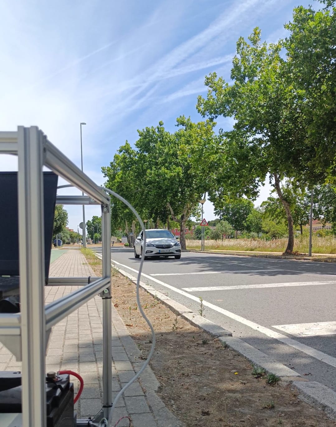
In this scenario, the platform remained stationary alongside the road. Traffic was recorded over a period of time to assess the performance of object detection and filtering based on their velocity. The objective of this dataset is the traffic monitoring.


Data Description

Each provided dataset is stored entirely in a bag file that includes relevant data from LiDAR, radar, and IMU sensors. Additionally, for the two trajectories in the dynamic environment, a baseline obtained using the LeGO-LOAM-SR library and a 3D map in .bt format are included.

Each bag file stores the following data:


  • • Imu measurements (LiDAR and ARCO).

  • • Radar measurements: Raw detections Pointcloud, objects PointCloud,etc.

  • • LiDAR measurements: PointCloud and Imu.

  • • RADAR measures (up-right).

  • • Transform information of the disposition of the sensors.

Downloads

Trajectory 1

2024-05-23-15:43pm
Has a duration of 03:13s receiving 3870+ RADAR scans, 1860+ LiDAR scans and 13100+ IMU measurements.

Contents Download

Trajectory 2

2024-05-23-15:49pm
Has a duration of 03:36s receiving 4321+ RADAR scans, 2080+ LiDAR scans and 14000+ IMU measurements.

Contents Download

Traffic Monitoring

2024-05-23-15:49pm
Has a duration of 02:01s receiving 2400+ RADAR scans, 1110+ LiDAR scans and 8300+ IMU measurements.

Contents Download